Parsęta


River length 129 km / 125 km trail length
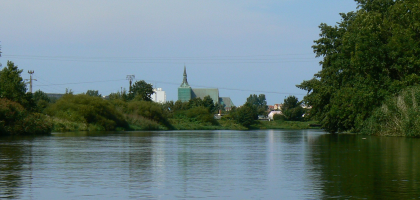
The Parseta river originates near the village of Parsecko in the Drawskie Lakeland, not far from Szczecinek. The entire trail runs in a north – westerly direction.
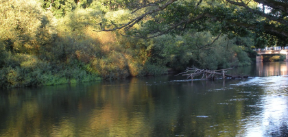
The upper part of the river – from Perznica (123 kilometre to the mouth) to Osowka – is recommended for skilled kayakers and canoists. The high, steep and overgrown river banks, fast and variable currents and rapids occur frequently and require considerable experience and patience. Ths is explained by the mountainous nature of the river in this section.
From Osowka the river continues to flow through hard-edges, however, it widens. There are fallen trees, often spanning the entire width of the river. After passing through Bialogard the Parseta slows down slightly and crosses the meandering Bialogardzka Plain.
The final stage from Karlino (here the Parsęta joins up with the Radew , which is also a popular canoe route) to the mouth on the Baltic Sea caost is recommended for novice kayakers and canoists. Perfect for a two-day run ending on the beach in Kolobrzeg.
Proposed daily runoff distances on the Parseta river:
Mouth of Perznica – Krosino – 12 km
Krosino – Stare Debno – 22 km
Stare Debno – Osowko – 8 km
Osowko – Rogowo – 14 km
Rogowo – Karlino – 15 km
Karlino – Pustary – 20 km
Pustary – Kolobrzeg – 15 km
Distances from Swornegacie (for kayak and canoe delivery):
Radomysl – 80 km
Stary Chwalim – 95 km
Krosino – 100 km
Stare Debno – 110 km
Osowko – 115 km
Tychowko – 120 km
Byszyno – 115 km
Bialogard – 122 km
Roscino – 130 km
Karlino – 130 km
Klopotowo – 140 km
Pustary – 150 km
Kolobrzeg – 160 km


