Kłonecznica
Trip duration: 2 days (for the whole trail length). Difficulty: (1) 
River length 31 km / 27 km trail length
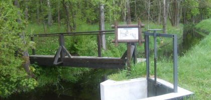
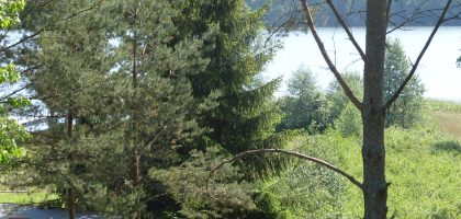
The Klonecznica is the right tributary of the Zbrzyca. It flows south crossing the Bytow Lake District, Zaborski Landscape Park and Charzykowy Plain. The source of the river is in the vicinity of Bytów. In the upper part the Klonecznica flows through the following lakes: Klaczno, Male and Kielskie. The vast majority of the river flows through the Tuchola forest complex. At the higher levels the water current is quite fast and requires kayakers / canoeist to be quite experienced – at the bottom there are some gems.
Proposed daily runoff distances on the Klonecznica river:
Studzienice – Hamer Młyn – 11km
Hamer Młyn – Laska – 16km
Distances from Swornegacie (for kayak and canoe delivery):
Studzienice – 45 km
Klaczno – 44 km
Hamer Mlyn – 34 km
Laska (trout pond) – 23 km


